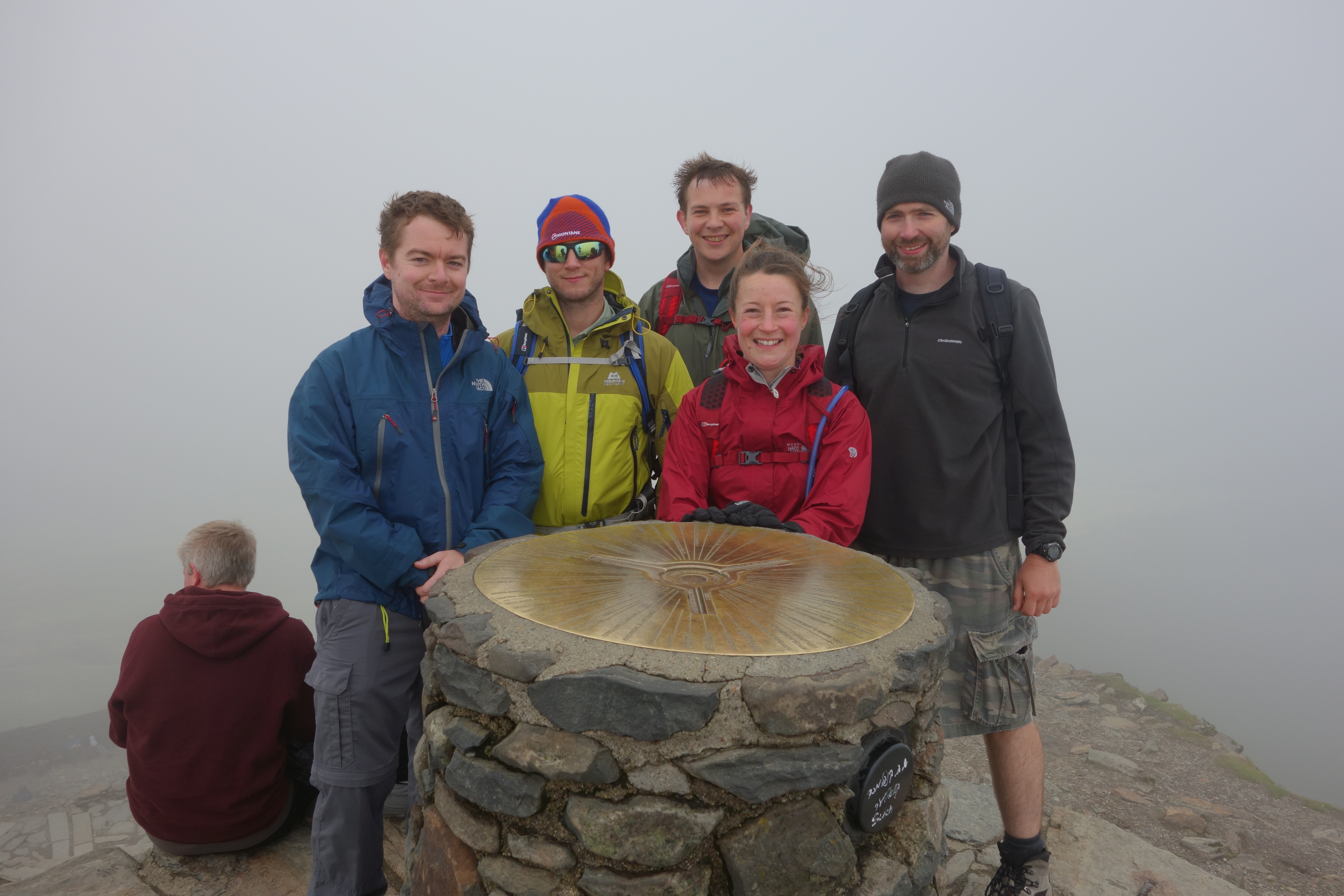
Myself & my son ascended Snowdon with friends, the weather was perfect considering the time of year. Great effort all round 🙂
Download file for GPSCategory Archives: Hiking
Moel Siabod
This was my son’s first peak and he did it effortlessly… he needs more of a challenge!
Download file for GPS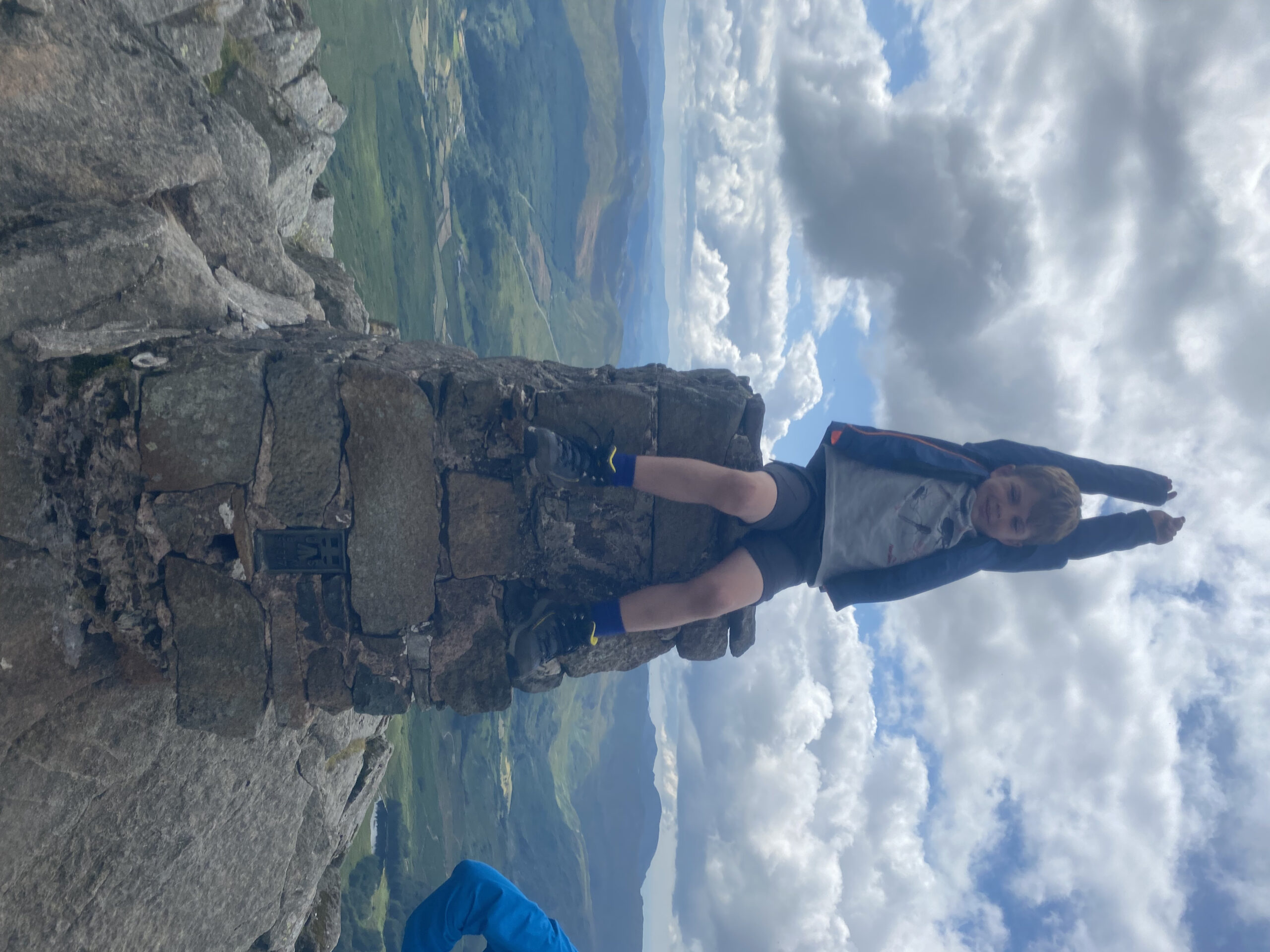
Idwal Slabs
Multi-pitch climb up Idwal Slabs (taking the ordinary route), with a scramble & abseil to rejoin the walk path.
The weather was a bit wet but okay, and conditions were somewhat slippery.
A fun day’s climb with the guys!
Download file for GPSSnowdonia
First proper hike in over two years, very enjoyable. Minor kit issues on the way down (waterlogged boots, GPS tracker battery ran out too soon), but otherwise a good day out. Weather was generally rubbish but there were some blue skies occasionally.
Download file for GPSTryfan
Reply
This was my first hike in over two years, it was good to get out on the hills! The weather was pretty good, though the rock was a bit wet in places.
Download file for GPSAfter parking up alongside Llyn Ogwen, we ascended to Heather Terrace and attempted to climb up South Gully. We had to abort due to conditions and instead went up North Gully.
After a lunch stop near Adam & Eve we descended and took the route back to the main road via Llyn Bochlwyd.
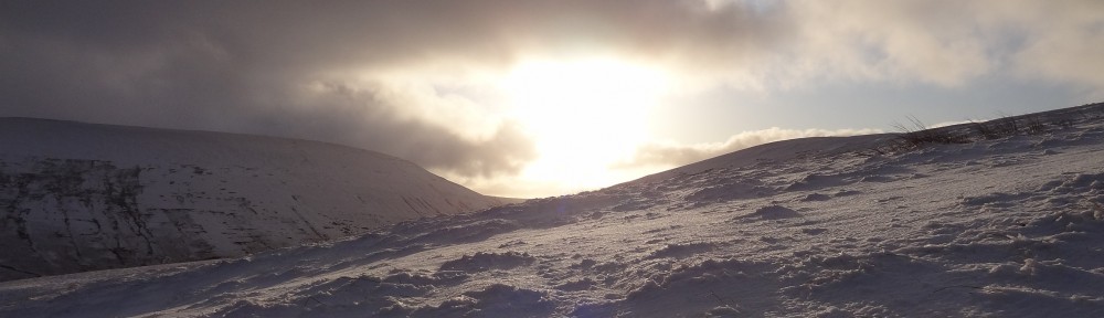
Ben Nevis by the Carn Mor Dearg Arete
A hike up Ben Nevis with Paul & Mark, lots of snow and a good use of crampons and ice axes 🙂
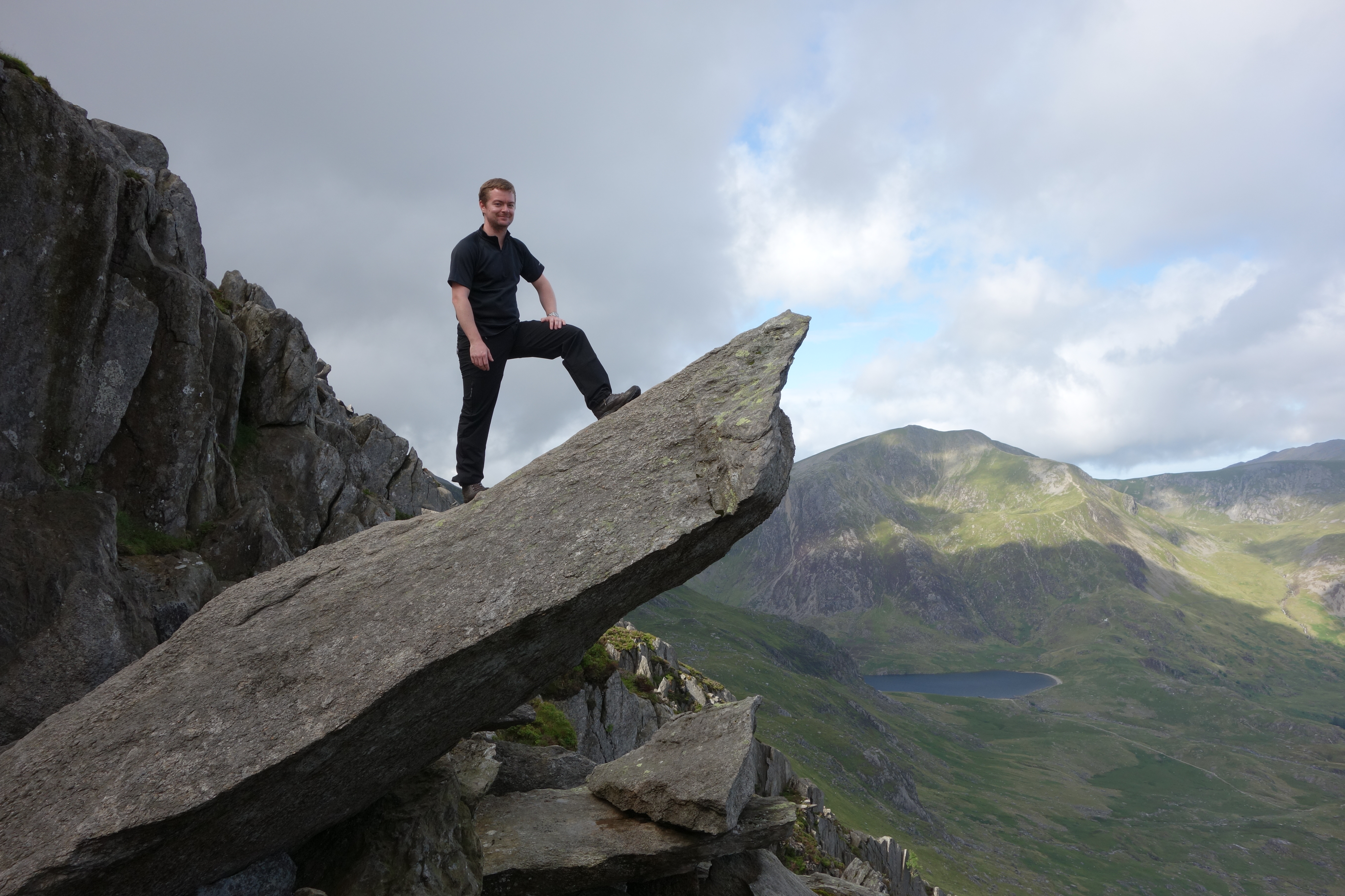
Snowdon, Conwy buttress, and Tryfyn
Snowdon via crib goch:
Conwy buttress, Tree climb:
http://www.ukclimbing.com/logbook/c.php?i=61743
Tryfyn:
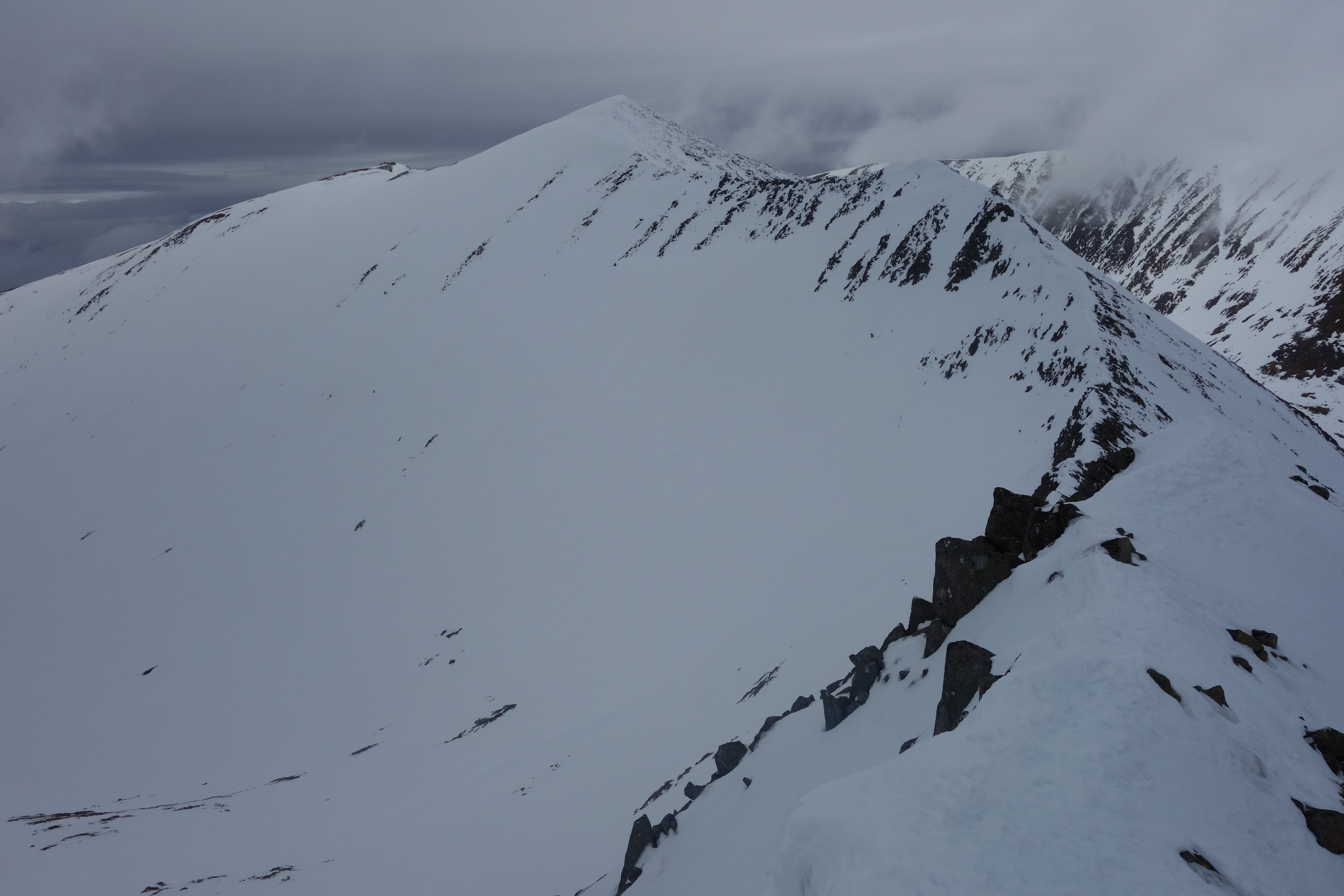
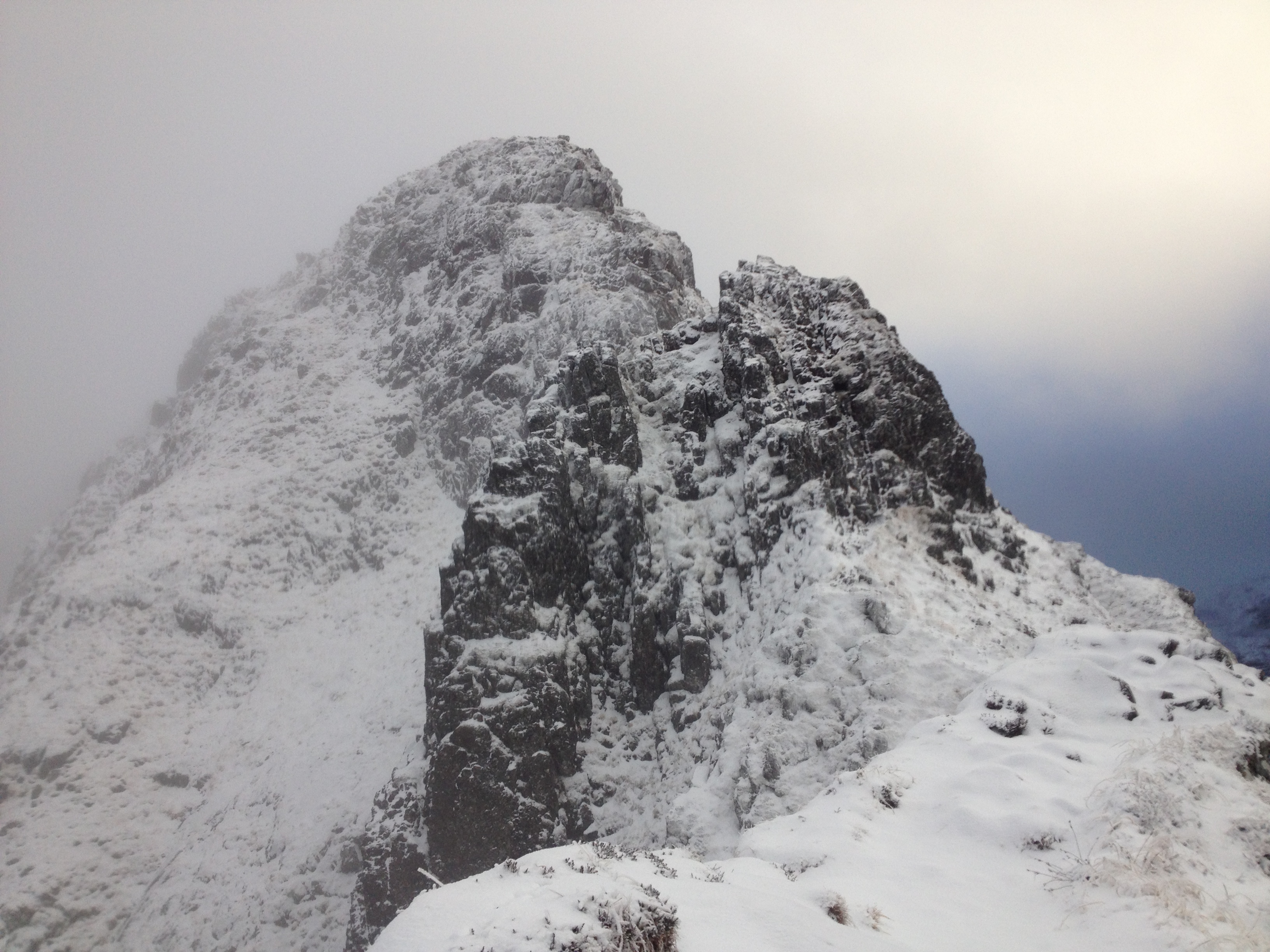
Aonach Eagach
We started the walk at the Clachaigh Inn, heading towards the A82 where there is a path leading directly up to Sgorr nam Fiannaidh. This was quite a rapid ascent of over 900m, and there was a shelter at the top to recover before we progressed along the ridge eastwards.
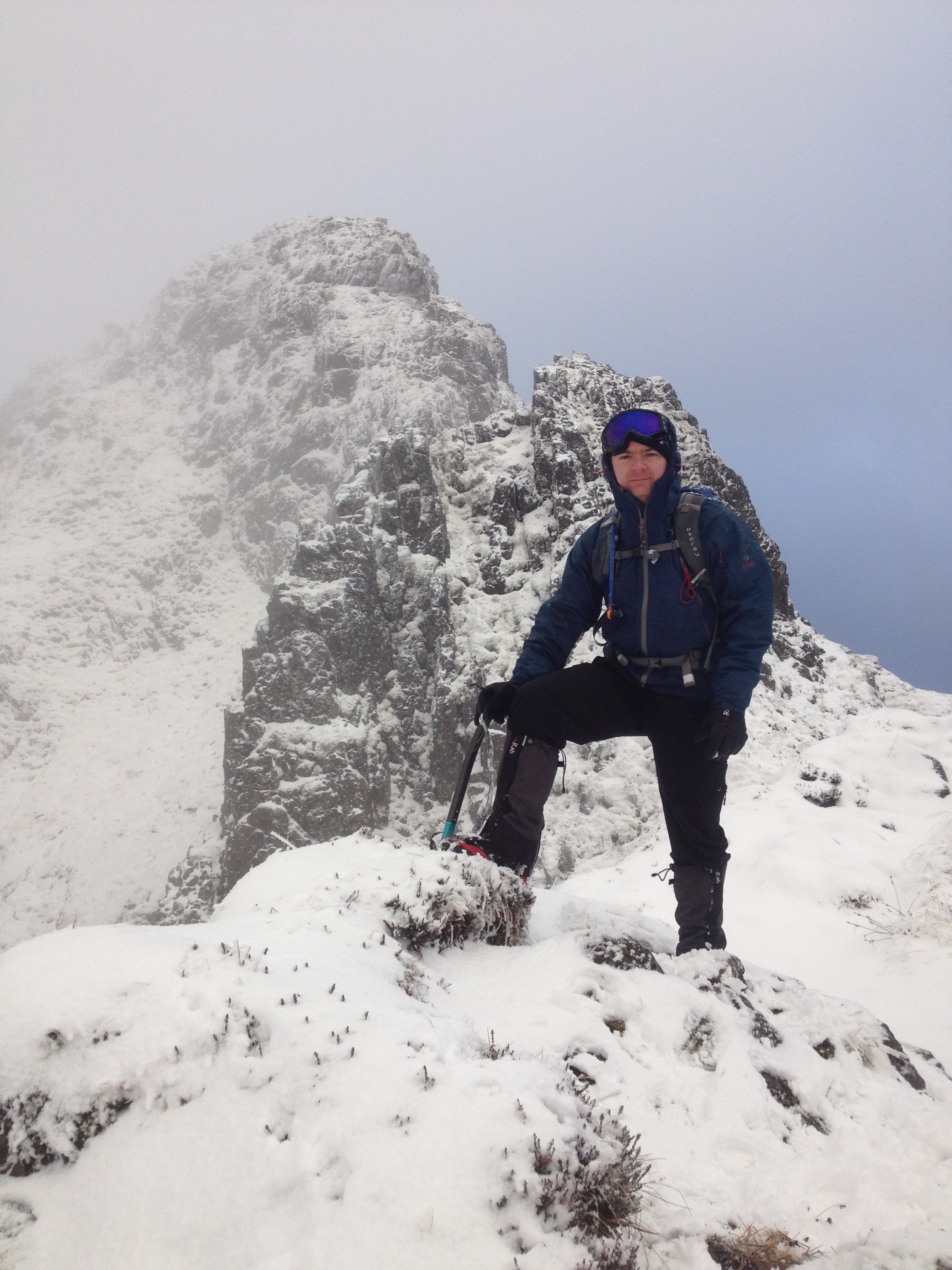
The walk from here was straightforward until we reached a series of pinnacles which required some scrambling/climbing to pass. Whilst the weather was generally good (a bit windy but not snowing or raining), there was a lot snow on the ground so progress was slow.
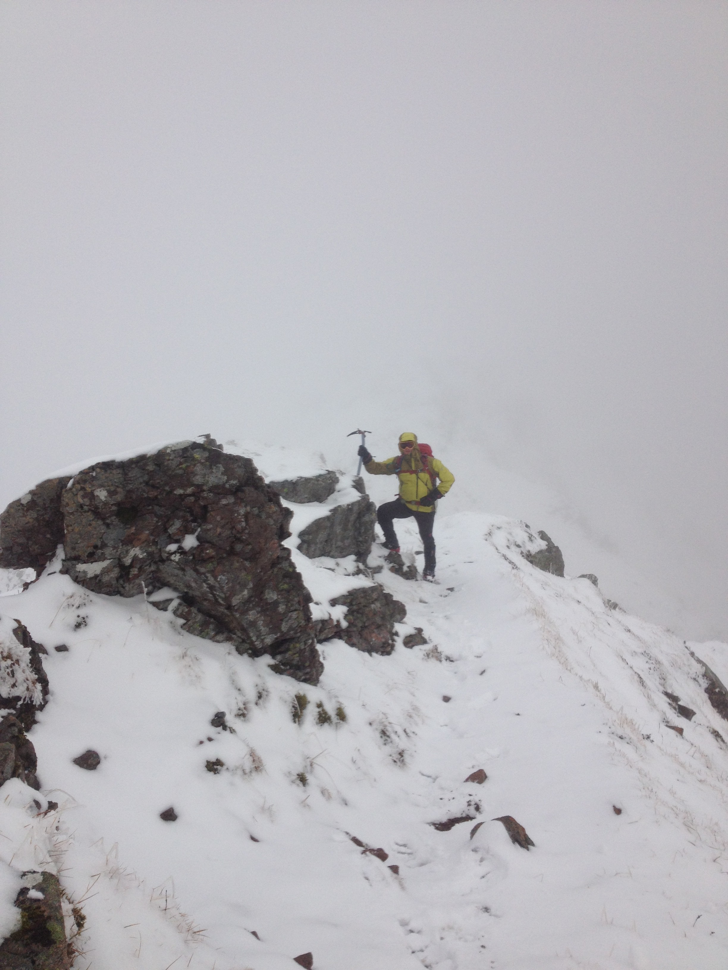
We bumped into a couple of climbers coming the other way before we reached the Crazy Pinnacles, and after a short discussion (and giving consideration to the time, it was starting to get dark), we decided to turn back. We got back the shelter just as it got properly dark, and the descent back down to the A82 took ages!
Overall this was a challenging hike/scramble/climb, next time we will perhaps tackle it during the summer months when there is more daylight!
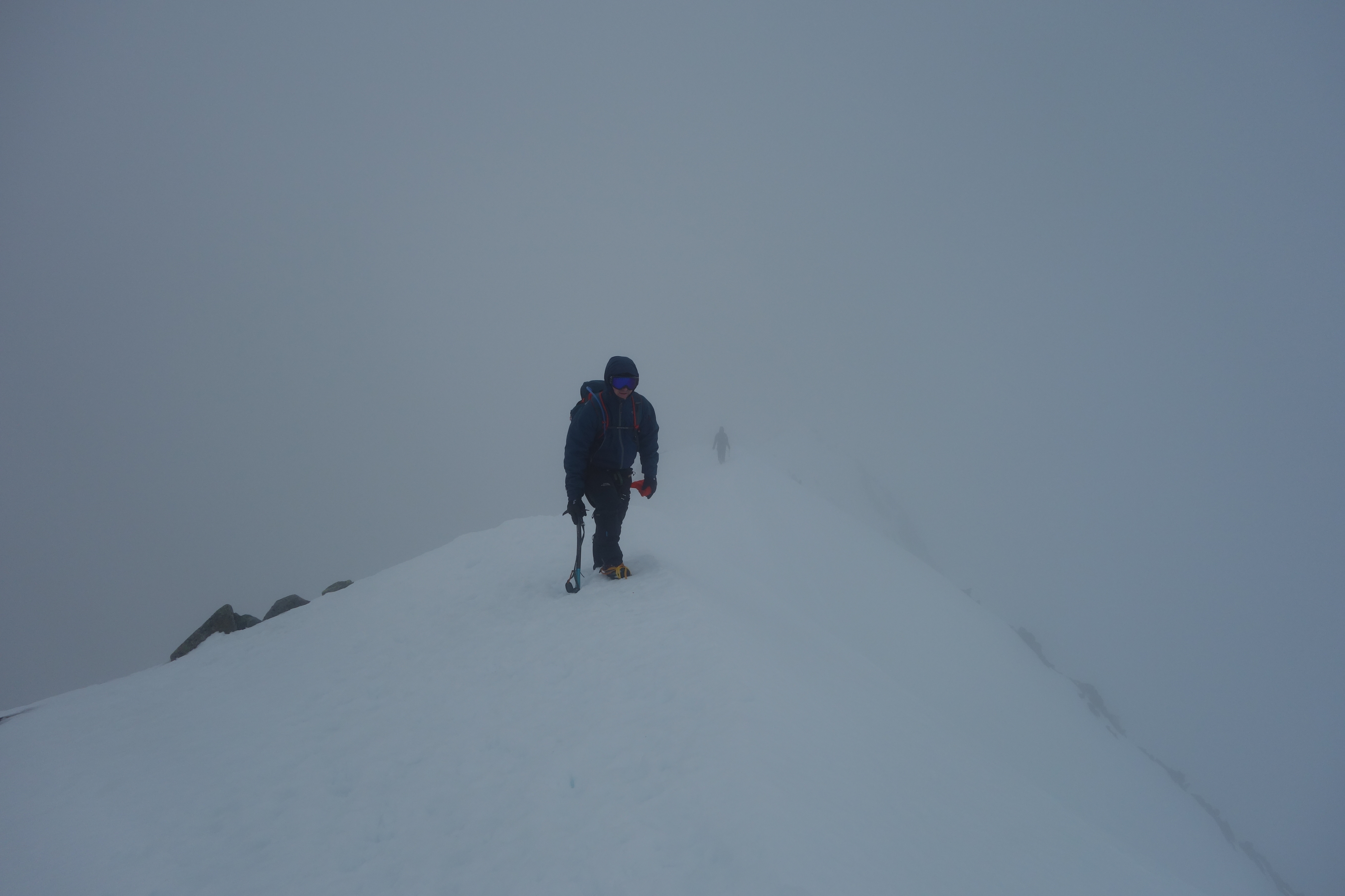
Ben Nevis
We took the mountain track up Ben Nevis, starting at the Nevis visitors centre. The weather was a bit wet when we started, and while we didn’t encounter any serious rain on the entire walk, there was a lot of snow and ice as we got nearer the top. Visibility was very poor and the cairns proved essential in finding our way once we were near the top.

The temperature up top was very very cold, it was quite windy which made things feel even chillier. We wore ski masks and by the time we begun our descent they had frozen up quite a bit, along with the rest our kit! We stopped for lunch in the shelter up top (which unfortunately was not left in a good state by other hikers).

We started walking at about 10.30 (after a brief visit to Fort William for supplies), and ended up finishing the walk in the dark at about 6pm (a head torch is essential).

Helvellyn
This was a short camping trip up in the lake district, pitching at Rydal Hall and ascending Helvellyn for a moderate hike. This is the route myself, Natalie, Paul, Kat, and Rob took:
Download file for GPSThe weather during the ascent was not great but improved dramatically after we reached the summit. By the time we got back to the car park it was glorious. This is myself and Natalie at the summit (conveniently hiding the summit marker, it is there honest!).

This is the descent back to the car park, conditions were becoming much more pleasant.

The next picture was taken after the hike on our way into Ambleside for an evening out, as you can see the conditions were a complete contrast to the washout on arrival on Friday evening.
